
DEDAL
Distributed Ecosystem for Drone Analytics in Life-sciences
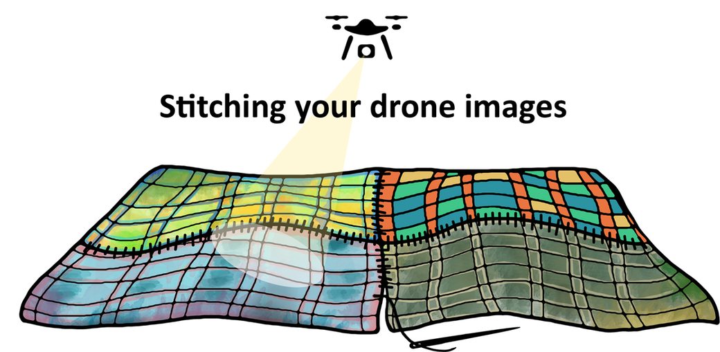
Welcome to the DEDAL initiative hosted at the John Innes Centre, a leading science hub in the UK renowned for its groundbreaking research in plant science, microbiology, and computational biology.
DEDAL is a cloud-based solution designed for the UK crop genetics community and UK farmers to process and phenotype drone data. Highly capable drones, which provide valuable insights into plant health, have become so cost-effective that they are now considered consumable items. However, delivering usable scientific insights from drone images is often hindered by several challenges: the high cost of proprietary software licenses for data processing, the hardware requirements to run such software, and the complexity of setting up various open-source solutions and adopting the best practices of the community.
DEDAL addresses these challenges with a cloud-based service for UK academics and farmers, running on the JIC's OpenNebula platform and processing cluster. In one place, from a web browser:
- Processing: raw drone images become orthomosaics, surface models and plant health indices with OpenDroneMap, to view and download.
- Reflectance calibration of DJI Mavic 3M multispectral images with a reflectance panel and the drone's sunlight sensor, with automatic quality checks, so values can be compared between flights and dates. It was validated on 193 flights over 17 fields (Calibration method).
- Plot extraction: draw a trial, let DEDAL find the plots in the imagery (or import your layout and plot sheet) and download per-plot vegetation indices, reflectance and heights, without installing anything.
- QGIS projects: download any flight as a ready-made QGIS project, with NDVI and your plots already styled.
- DEDAL-Lab: RStudio in the browser with your flight and plots already loaded and a starter script (canopy cover, plant height, statistics), with FIELDimageR.Extra for further analysis.
The same calibration and processing run unattended on the JIC cluster for whole seasons of trial flights. Ongoing work aims to expand DEDAL's capabilities with AI models for phenotyping tasks, including yield estimation and disease scoring. See the documentation for details.
Our mission at JIC is to foster scientific advancements and empower the community with tools like DEDAL that drive innovation in fields such as agriculture, environmental science, and beyond.

The service is proudly maintained by the JIC Bioinformatics team. This dedicated team leverages its expertise to ensure the robustness and accessibility of DEDAL, supporting cutting-edge research and fostering collaboration across disciplines.
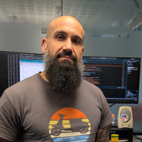
Who is behind DEDAL
I'm Miguel Gonzalez Sanchez, from La Alcarria in Spain and based in Norwich, a Research Software Engineer at the John Innes Centre since 2024. My work is building bridges between biology and software: helping research have tools that are reliable, reproducible and sustainable.
DEDAL started as an idea of Martin Vickers. I brought it all together and expanded it into the DEDAL service and DEDAL-Lab, and I came up with the name: dedal is Spanish for thimble, the small tool that protects your finger while you sew, and DEDAL stitches drone images together into maps of your fields. Hence the thimble in the logo. In English, it stands for Distributed Ecosystem for Drone Analytics in Life-sciences.
JIC blog ·
Publications and software
- Gonzalez Sanchez M., Vickers M., Steuernagel B., John Innes Centre (2025). DEDAL, Distributed Ecosystem for Drone Analytics in Life-sciences (poster, MONOGRAM 2025, Best Poster Award of the Session). doi:10.5281/zenodo.15846333
- Gonzalez Sanchez M., Vickers M., Steuernagel B. (2026). dedal-calibration: reflectance calibration of DJI Mavic 3M multispectral images (v0.1.0). John Innes Centre. doi:10.5281/zenodo.23286715
How to cite DEDAL in your work: Software and citation.
Acknowledgments
NBI Research Computing and Core Computing Teams.
Sarah Brookes, designer of the DEDAL icon and the splash image.
Dr. Alba Pacheco Moreno.
OpenDroneMap Authors ODM:
ODM – OpenDroneMap/ODM GitHub Page, 2020.
Pawar P. & Matias F.I. for their work on FIELDimageR.Extra:
The Plant Phenome J., 2023.

For inquiries, contact us at dedal@jic.ac.uk.
Note: DEDAL and DEDAL-Lab are not officially associated with OpenDroneMap or its products.